|
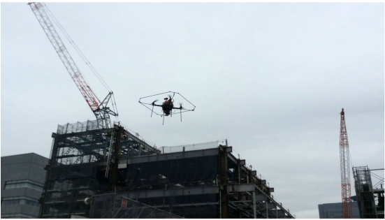
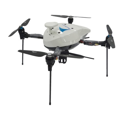
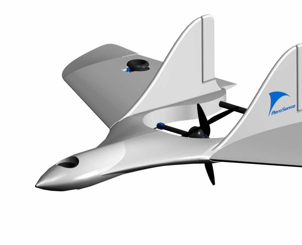
Sales of drones—or unmanned aerial vehicles (UAVs), as people in the industry like to call them—are soaring. Forecasts by market annalists vary, but all are bullish. A 2015 estimate by the Teal Group in Fairfax, Virginia, has the value of global UAV production rising from $4 billion annually to $14 billion in 2025. Kick in R&D, procurement and software development and you are looking at a business ballooning towards $100 billion in accumulated revenues over the next decade. The commercial drone industry is still in its infancy yet is maturing as fast as the zippy little products it produces are flying off the shelves. China’s SZ DJI Technology is already scooping up the high end of the market for itself, while France’s Parrot is cornering off the low end. And with literally hundreds of other manufacturers around the globe filling the skies with their UAVs, it would seem late in the day to be entering the business now. Not if you have an innovative business plan, says Aerosense Inc., a Tokyo-based joint venture between Sony and robot maker ZMP, which began commercial activities in March. By combining Sony’s strengths in batteries, image sensors and manufacturing, with ZMP’s facility in autonomous driving and systems integration, the start-up believes it has something new to offer. Established last August, Aerosense is making its own autonomous drones but isn’t selling them. Rather, it is pioneering new B2B data collection and data analysis services by means of its flying products: a multicopter model and a vertical take-off and landing drone. Besides GPS, the multicopter is equipped with an inertia navigation system that uses motion sensors and gyroscopes to calculate (via dead reckoning) its position. It also employs a Sony QX30 lens-style camera originally designed to attach to mobile phones. The camera sports a 30x optical zoom and a fat 20-megapixel Exmor R CMOS sensor that can produce the equivalent picture quality of a mid-range digital single-lens reflex camera. “Usually, UAVs need human operators for take-offs and landings,” says Satoru Shimada, Director of Aerosense’s business development. “But (with our autonomous drones) you just push a button, it takes off, flies according to the flight path and lands autonomously.” Using a notebook PC or tablet computer, the Aerosense operator selects a portion of a map where the drone is to fly, keys in the altitude and outlines the area to be photographed. The software then automatically generates an optimized flight path. Data is uploaded and downloaded via drone and PC using a USB connection or Transfer Jet, a souped-up close-proximity wireless technology. During the flight, the camera is timed to take a photo once every two seconds. Upon landing, the data is transferred to the PC and uploaded to Aerosense’s cloud server where the photos are processed into 2D maps and 3D models. “This usually takes only a few hours,” says Shimada. “So if the flight takes place in the morning, you can see the results in the afternoon.” Aerosense has begun supplying construction companies with 2D and 3D panoramic images of work in progress, such as excavation development, pile foundation work, earth-wall volumes, and patterns of iron-bar reinforcement work before concrete is poured. The savings in time and manpower can be huge depending on the size of the building site. The company is also talking with the Ministry of Land, Infrastructure, Transport and Tourism about imaging the country’s World Heritage Sites. And it is working with the Ministry of Economy, Trade and Industry to develop drone emergency services—for instance, drug deliveries to patients isolated after an earthquake. In the latter case, Aerosense will use its fixed-wind vertical take-off and landing drone that can carry a 1kg payload, fly at speeds of more than 100km an hour and operate for more than two hours. Multicopter drones, by comparison, fly much more slowly and battery life limits flying time to around 20 minutes. Shimada sees this service also being adapted to delivering small-item consumer goods to customers living in the countryside of countries such as China, where the road systems are less developed.
In ways such as these, Aerosense aims to have 100 UAVs in operation in the next 12 months, yet it won’t have sold a single drone. This first appeared on my Forbes blog site: http://www.forbes.com/sites/jboyd
1 Comment
|
AuthorI cover the sci-tech-biz scene in Japan as well as current events. Contact me if you would like similar articles published on your site. Archives
April 2016
Categories |


 RSS Feed
